

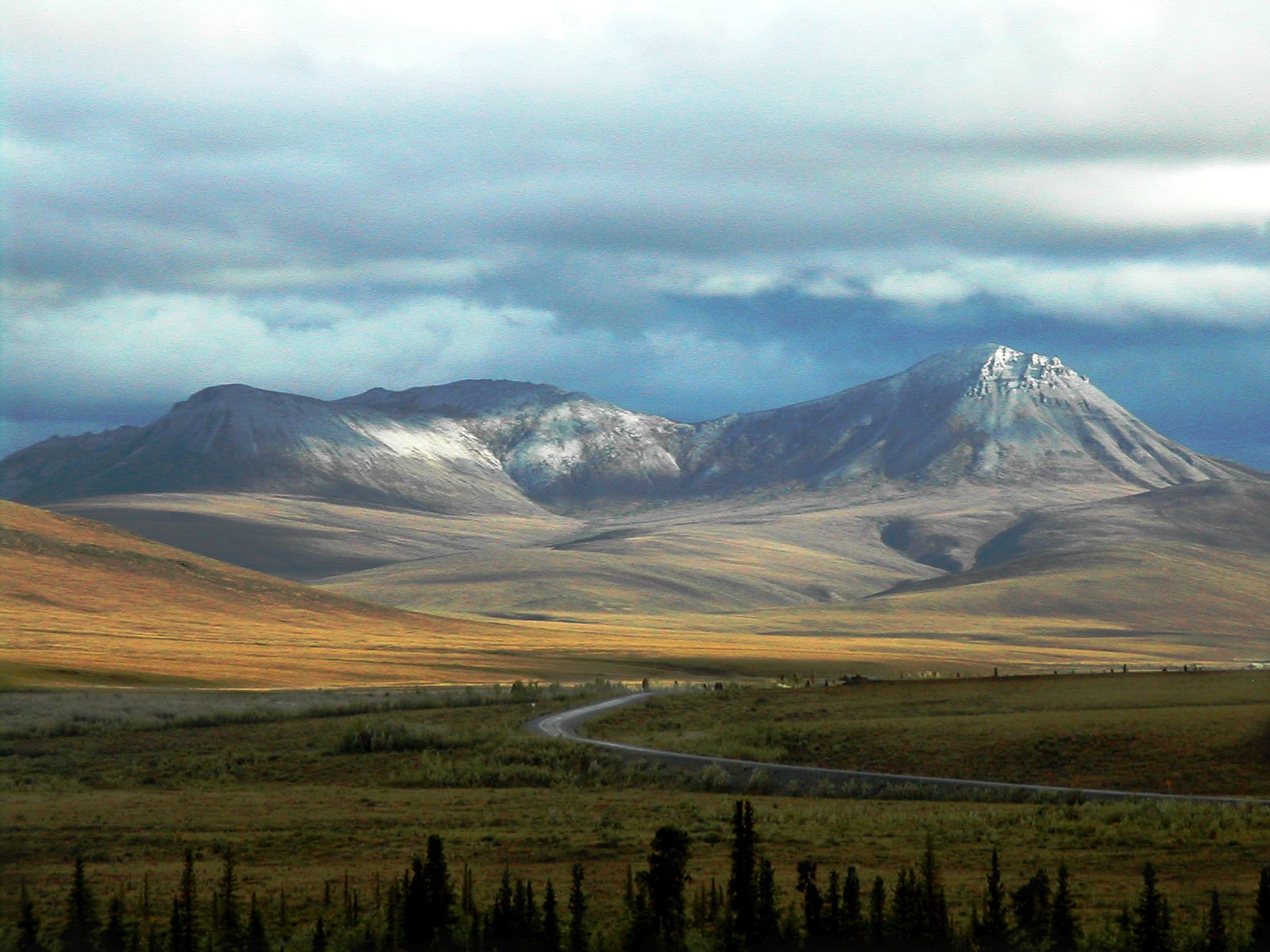
Photo: PierreWiki at English Wikipedia, Public domain
Dempster Highway
- Distance
- 779 km
- Driving
- 13 h 50
- Stops
- 4
- Suggested days
- 4
- Type
- By car
Start: Dawson City · End: Inuvik
Regions crossed: Yukon · Territoires du Nord-Ouest
Nature and views
Route not verified — route calculated between the main stops, without an official list; it may differ slightly from the real route.
A gravel road from Dawson City to Inuvik that crosses the Arctic Circle: tundra, the Richardson Mountains and the Mackenzie Delta.
Best time: late May to mid-October. Indicative period: check the route's website before you go.
- Start (A) and finish (B)
- Circuit stop, in order
- Place near the route (category icon): click to see it
- The route
- Area of nearby places
All the places around the route (122)
Tick the ones you want to add to your trip.
Loading places along the route…
Travellers’ versions
Trips built from this route and shared by the community: their stops, days and ideas.
Dempster Highway: from the community
Looking for nearby pages and notes…
Photos and stories about Dempster Highway
Members' photos and stories. Every post follows the community rules; any content can be reported. Community →
Sources
Description written by Fallest. Places come from OpenStreetMap and the other sources on the Data licence page.