

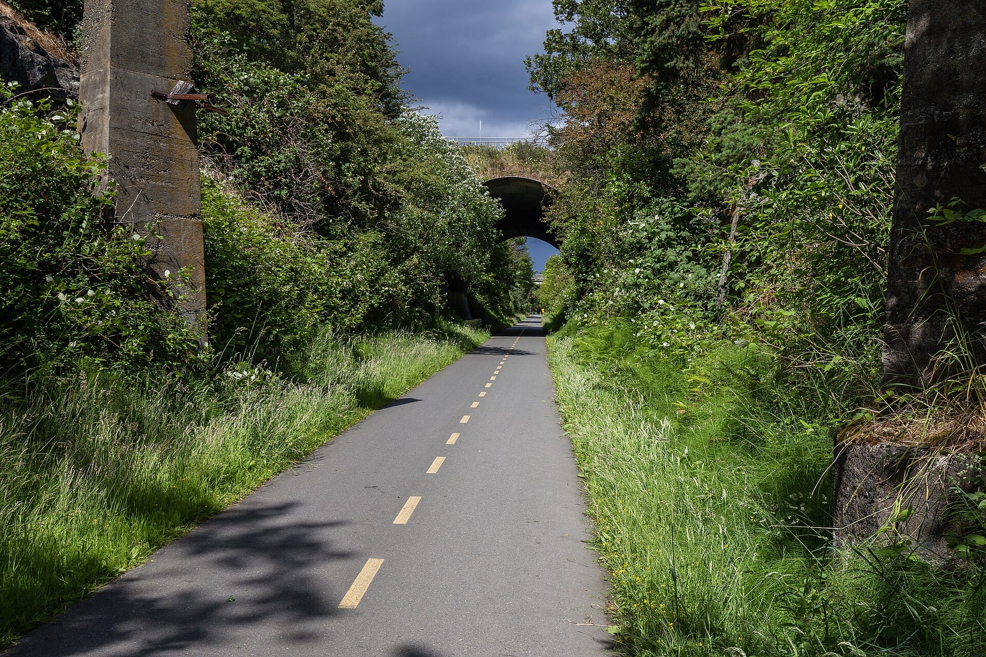
Photo: Michal Klajban, CC BY-SA 4.0
Galloping Goose Regional Trail
- Distance
- 58 km
- Driving
- 3 h 50
- Stops
- 9
- Suggested days
- 1
- Type
- By bike
Start: Victoria · End: Leechtown
Regions crossed: Île de Vancouver et la côte
Sports
A 55 km trail on an old railway line, from Victoria to Leechtown, through Colwood, Metchosin and the Sooke Potholes.
Cycling season: May to October, depending on snow and trail upkeep. Indicative period: check the route's website before you go.
- Start (A) and finish (B)
- Circuit stop, in order
- Place near the route (category icon): click to see it
- The route
- Area of nearby places
Stops on the trail
The circuit's official list. “Create my trip” turns it into a trip in My trips, where you can change everything (days, order, places).
Official list, verified: Galloping Goose Regional Trail : carte officielle du sentier (relevé en octobre 2026)
- Selkirk Trestle Take a guided tour · Victoria · at km 2Directions
- Hatley Castle Gardens Colwood · at km 14Directions
- Matheson Lake Regional Park Stroll in a park · Metchosin · at km 33Directions
- Roche Cove Regional Park Stroll in a park · Sooke · at km 34Directions
- Charters River Trestle Take a guided tour · Sooke · at km 43Directions
- Leechtown Take a guided tour · Sooke · at km 43Directions
- Sooke Potholes Nature watching · Sooke · at km 48Directions
- Todd Creek Trestle Take a guided tour · Sooke · at km 48Directions
- Spring Salmon Place Campground Go camping · Sooke · at km 52Directions
All the places around the route (2,500)
Tick the ones you want to add to your trip.
Loading places along the route…
Travellers’ versions
Trips built from this route and shared by the community: their stops, days and ideas.
Galloping Goose Regional Trail: from the community
Looking for nearby pages and notes…
Photos and stories about Galloping Goose Regional Trail
Members' photos and stories. Every post follows the community rules; any content can be reported. Community →
Sources
- Galloping Goose Regional Trail : carte officielle du sentier (relevé en octobre 2026)
- Destination BC (site de tourisme de la province)
- Wikipédia : Galloping Goose MC
- Wikipedia : Galloping Goose Regional Trail
Description written by Fallest. Places come from OpenStreetMap and the other sources on the Data licence page.